This is Alex Marienthal with the avalanche forecast on Sunday, April 20th, at 7:00 a.m. This is our 141st and final forecast for the season. Thank you to the readers of the forecast, everyone that sent in observations, took an avalanche class, or donated money, time or gear. Our success is directly related to support from our community and the Forest Service. This forecast does not apply to operating ski areas.
We will issue conditions updates on Mondays and Fridays through April.
This morning there are 1-2” of new snow near Big Sky and in the Bridger Range with zero to a trace elsewhere. Temperatures are mid-20s to low 30s F. Wind has been from the northwest and southwest at 5-15 mph with gusts of 20-35 mph.
Today will be a spring mix with temperatures reaching 30s to mid-40s F under mostly cloudy skies. The sun might show briefly before some light showers (maybe rain, then snow) and possible thunder this afternoon. Wind will be generally light with some moderate gusts out of the west. By tomorrow morning 2-4” of new snow are possible near Bozeman, Big Sky and Cooke City with less elsewhere. More snow is forecast tomorrow into Tuesday.

All Regions
Today the snowpack is generally stable and avalanches are unlikely. You might encounter isolated areas of unstable snow just a few inches deep which could be hazardous if a small slide pushes you into rocks, trees or over a cliff. If you travel in steep, higher consequence terrain, be cautious of areas where recent snow has been drifted into a stiffer slab, or where the snow surface becomes wet more than a few inches deep.
Yesterday skiers triggered small wind slab avalanches, 3-6” deep and 10-20’ wide in the northern Bridgers (observation and photos) and near Cooke City (photos). Today you might encounter similar drifts in areas with a couple inches of new snow, or where snow from earlier in the week remained dry on high, northerly facing slopes.
The new snow from earlier in the week got warm and wet on many slopes yesterday, and the snow surface should be refrozen and stable this morning. Cloudy skies will minimize wet loose avalanche potential today, but above freezing temperatures and possible rain this afternoon will create a wet snow surface in some places. Small wet slides could be triggered in isolated areas, especially where there are a few inches of new snow this morning that could easily become moist with brief sun or above freezing temperatures.
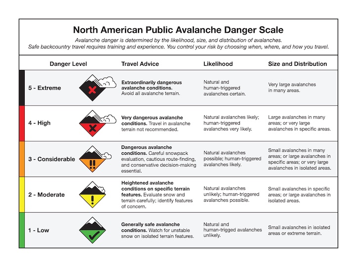
Today the snowpack is generally stable and avalanche danger is LOW. Be on the lookout for isolated areas of unstable wet snow and small drifts, and consider the consequences of being knocked over by a small slide.
If you encounter an error with our observation submission platform, please email your observations to mtavalanche@gmail.com
Hyalite Road Closure
The Hyalite Canyon Road is closed to ALL MOTORIZED VEHICLES until May 16. This is a regular annual road closure to reduce road damage during the spring thaw. Bicycle and foot traffic are allowed. Contact the Bozeman FS Ranger District for more info.
Bridger Bowl Ski Area is closed for the season, and uphill travel is allowed. Please give employees and machinery plenty of room as they work to clean up from the season. Backcountry conditions will develop as spring storms impact the range. There are no ski patrol services, avalanche mitigation or terrain closures as conditions evolve. Call 911 for any incidents requiring outside assistance.