This is Mark Staples with the avalanche forecast for Thursday, February 13th, at 7:00 a.m. sponsored by Montana State Parks and the Yellowstone Club Community Foundation. This forecast does not apply to operating ski areas.
Cold air is on its way out, but increased winds and snowfall are on their way in.
Temperatures this morning are -5 to -13 degrees F which is five to ten degrees warmer than yesterday, but wind chills will keep things feeling quite cold. Winds increased yesterday afternoon, and are blowing 15-20 mph from the west this morning with higher gusts. Skies are clear this morning.
A trough of low pressure (a storm) is hitting the northern CA coast this morning and will move across Nevada and Utah today. For us, this means increasing clouds and winds from the south. The Pocatello NWS office has issued a winter storm warning for the Island Park area starting at 11am today.
Today as skies become cloudy, wind gusts will reach 30-40 mph from the south. Temperatures are supposed to rise into the mid teens F, but I bet they’ll be stubborn and remain quite cold for much of the day. By tomorrow morning, areas near Island Park and West Yellowstone could have 2-5 inches of snow while all other areas should have about an inch. More snow falls through the weekend and into next week

Wind slab avalanches are the primary avalanche problem. Old ones from about three days ago have likely stabilized but new ones formed overnight and should be easy to identify today. Winds have mostly been blowing from the west and will blow from the south today. Look for freshly wind loaded areas and avoid them.
Dave spotted a fresh naturally triggered wind slab yesterday in the northern Bridgers and discusses this issue in this video. Some weakening or faceting occurred on the snow surface the last few days, and fresh wind slabs could be resting on that weak snow making them especially touchy.
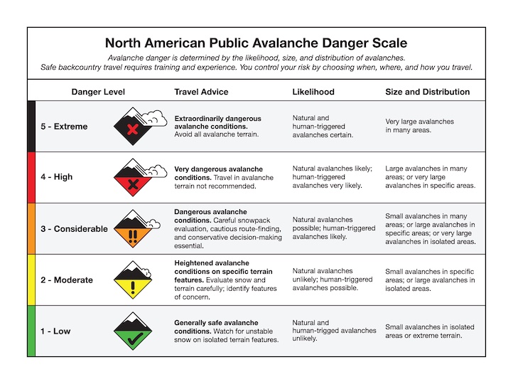
Today the avalanche danger is MODERATE on wind loaded slopes and LOW on non-wind loaded slopes. HEADS UP - the size, depth, distribution and sensitivity of wind slabs will be increasing today.
Wind slab avalanches are the primary problem resulting from increased winds from the west yesterday and this morning. Today winds will increase a bit more and shift to the south. The size, distribution, and sensitivity of these wind slabs will increase throughout the day. Identify areas with fresh drifting and avoid them.
Persistent slab avalanches remain on our radar because there is a widespread layer of weak, faceted snow that formed in late January. This layer is buried 1-3 feet deep and seems to have been unreactive in recent days (Lionhead ob). Wind loading and snowfall this weekend will make this layer more of a concern.
Near Cooke City, there appears to be a weakness 1-2 ft deep near a layer of dust that was deposited on the snowpack just over a week ago. This dust layer is easy to see in a snowpit wall, and it only takes a few minutes to perform an extended column test on this layer.
Today the avalanche danger is MODERATE. Heightened avalanche conditions exist with fresh wind slabs and buried weak layers. HEADS UP - every danger rating covers a range of conditions, and I expect the danger to be creeping up today
Upcoming Avalanche Education and Events
Our education calendar is full of awareness lectures and field courses. Check it out: Events and Education Calendar
February 18, 3-4 p.m. Whumpfs and anticracks: the science and mechanics of snow slab avalanches. A free advanced snow science presentation by a visiting professor from Germany at Montana State University in Roberts Hall, Room 101.
February 20, 4-7 p.m. Beacon BBQ at Uphill Pursuits in Bozeman. Come try out different brands of avalanche transceivers (or practice with your own!) with coaching from Friends of GNFAC instructors and free hotdogs.
February 28 - March 2, Bozeman Splitfest 2025 - Celebrate all things Bozeman backcountry and raise funds for GNFAC. Enjoy demos, clinics, free food and beer from MAP. Connect with fellow outdoor enthusiasts and soak up the winter stoke.
Every weekend in Cooke City: Friday at The Antlers at 7 p.m., Free Avalanche Awareness and Current Conditions talk, and Saturday from 10 a.m.-2 p.m. at Round Lake Warming Hut, Free Rescue Practice